.svg "Greenhatch white logo (1)")

As UAV (unmanned Aerial Vehicle) technology or drones become more widely adopted across the construction, engineering, and land development sectors, many clients and project teams want to know how accurate is a drone survey and whether it can be relied upon for technical decision making. The good news is that modern survey-grade drones, equipped with advanced positioning systems, can now produce reliable mapping, modelling, and imagery to support your project plans. However, as a fairly new surveying method, drone surveys must be carried out carefully and professionally in order to deliver the required results. In this article, we explain how drone surveys create accurate data and how they can support your project.

What Determines Drone Survey Accuracy?
For an accurate drone survey, it isn’t sufficient to simply fly over your site with a cheap drone purchased online. A professional UAV drone survey will need high quality sensors, GNSS correction systems, and detailed flight planning to achieve the accuracy levels suitable for topographical and infrastructure projects. When operated by a qualified surveyor, a drone can capture horizontal and vertical data typically within 20 to 30 millimetres. This high precision allows the outputs to be used for a wide range of engineering, planning, and monitoring activities.
To achieve this level of performance, survey-grade drones use RTK or PPK GNSS technology. These systems correct the position of the UAV in real time or during post processing, ensuring the recorded imagery and point cloud data are aligned accurately with the known datum. This means the outputs can be confidently integrated with your design models, site plans, and engineering drawings.
How High Resolution Sensors Support Reliable Mapping?
The accuracy of an aerial drone survey is also influenced by the quality of the sensors. High resolution cameras and LiDAR units capture dense data across wide areas, allowing surveyors to create detailed digital terrain models, orthomosaic mapping, and 3D point clouds. When imagery is captured with high overlap and consistent altitude, the resulting datasets provide a clear and measurable representation of the site.
These outputs are suitable for various applications, including cut and fill analysis, landscape assessments, planning submissions, and infrastructure design. The precision achieved allows the datasets to be integrated with CAD, GIS, and BIM environments without compromising accuracy.
Why Ground Control Points Improve Accuracy On Larger Sites?
Although RTK and PPK systems significantly improve positioning, ground control points are still an important part of accurate surveying. Strategically placed ground control points anchor your dataset to known coordinates, improving horizontal and vertical reliability across large or complex sites.
How this works: Survey teams typically place markers in open, visible locations before the drone flight begins. These markers are then measured using traditional ground-based survey instruments and used to refine the drone outputs. By combining drone data with verified ground measurements, surveyors create a consistent topographical map of the entire site, reducing the need for repeat surveys.
The Benefits Of Verification
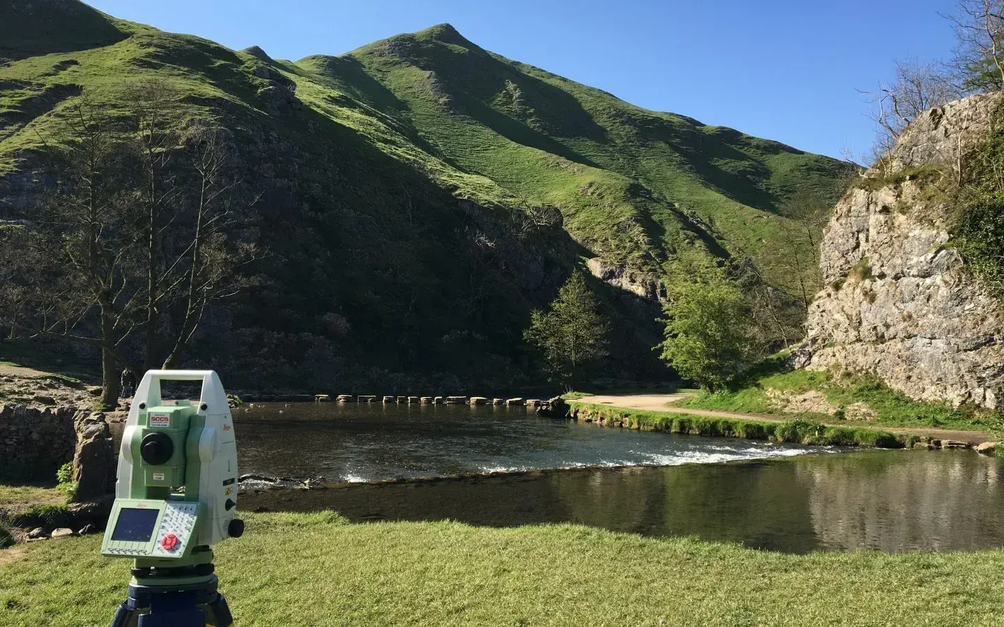
Even with advanced technology, we don’t recommend using UAV survey data on its own. You should always verify drone data against traditional surveying methods for the highest confidence in your results. By checking key points on the ground with total stations or GNSS receivers, surveyors can confirm that the dataset meets the required accuracy levels for the project. This process means you only need to purchase the data once. When verification is carried out properly, the outputs can be used throughout planning, design, modelling, and construction stages without the need for additional surveys.
How Drone Surveys Improve Project Efficiency?
One of the key advantages of a UAV drone survey is the ability to capture accurate information quickly across large sites. Large areas can be surveyed in a fraction of the time required by ground-based teams, making drone surveys ideal for projects where speed, safety, and broad coverage are priorities, or when you have a small surveying team. By reducing the time teams spend on site and delivering comprehensive data, drone surveys help developers, planners, and engineers streamline project delivery without compromising precision.
When Ground-Based Methods Are Recommended Alongside Drone Data?
While drone surveys are highly accurate for many applications, some scenarios still require complementary ground-based surveying to achieve the highest level of detail. For example:
- Critical boundary definition or legal boundary disputes.
- Sites heavily obscured by vegetation or restricted visibility.
- Projects requiring underground utilities mapping or verification.
- Works near structures where fine detail or closed-range scanning is essential.
- Locations where complex elevations require targeted terrestrial measurements.
In these cases, combining drone data with traditional survey techniques ensures that all aspects of the site are captured precisely, reducing risk and supporting more accurate design outcomes.
Get Expert Guidance On Choosing The Right Survey Method
To find out how a UAV drone survey could support your project, speak to the Greenhatch team today. Our specialists will review your site, discuss your accuracy and programme requirements, and recommend the most suitable survey method for your objectives. Contact us now to arrange an initial consultation and tailored quotation.
What Is A Topographical Survey?
.jpg)
What Is A Measured Building Survey?
No Comments Yet
Let us know what you think