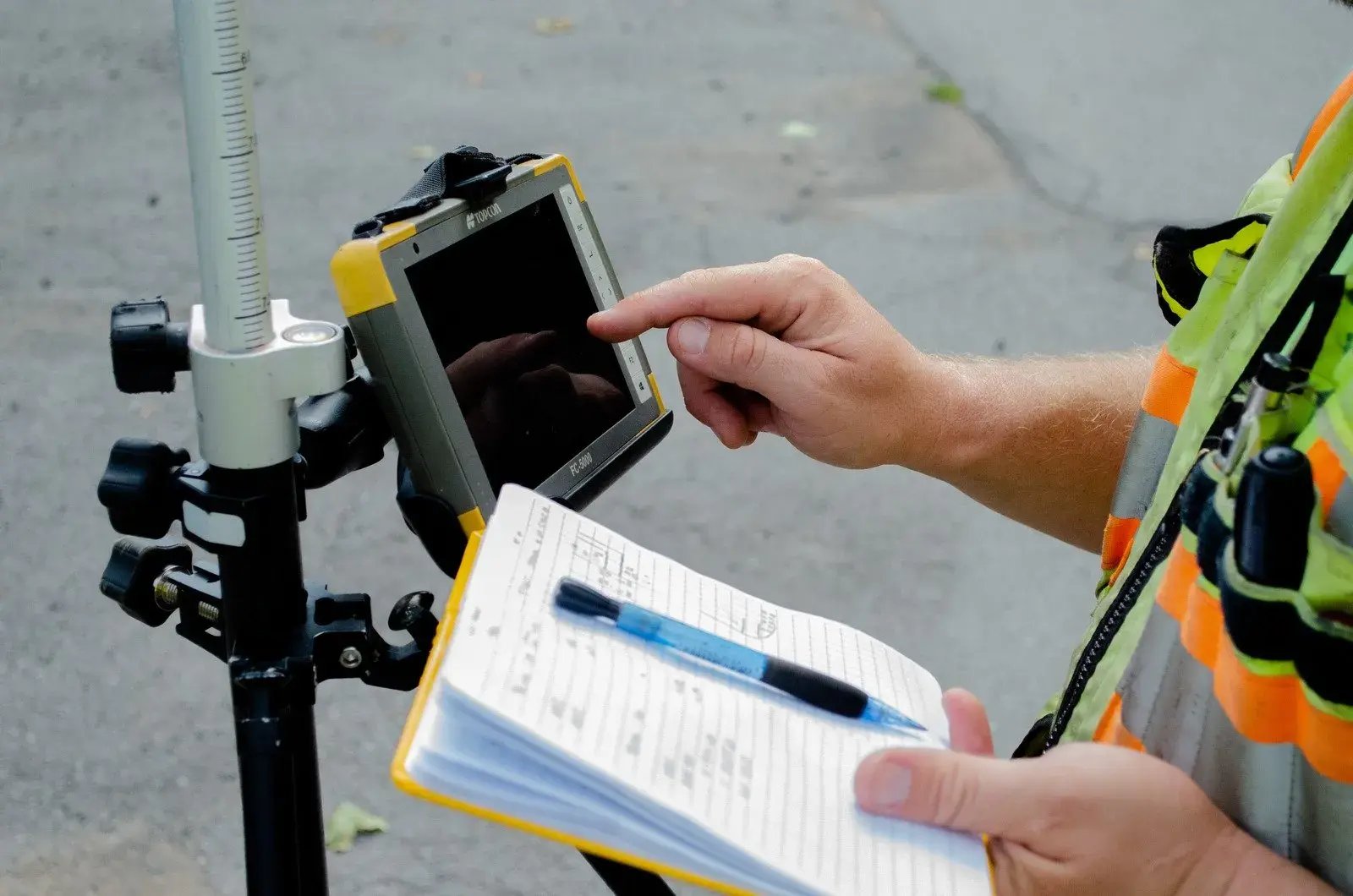
Government Survey For Public Sector Projects

Public sector projects demand absolute consistency and compliance, supported by accurate survey data and seamless project management. Whether you're planning civic infrastructure, maintaining council buildings, or managing complex multi-asset estates, the risks of delays, non-compliance, or inconsistent deliverables can undermine transparency and project success. Greenhatch Group’s experienced surveyors brings proven expertise for local councils, authorities, planners, contractors, engineers, and estate managers across the UK.  

Total Lifecycle Support For Public Assets

Greenhatch delivers full survey and data management throughout your project’s lifecycle:

Site and building surveys

Enabling refurbishment, extensions, and ongoing asset maintenance.

Infrastructure surveys

For new developments, highways, public amenities, and critical local assets.

Utility and underground mapping

Safeguarding groundworks and ensuring project safety.

Condition monitoring and handover

Providing robust documentation for regulatory approval and future maintenance.

Our dedicated government sector specialists coordinate every phase, so your team experiences clarity, accountability, and timely delivery from survey to sign-off.

National Coverage and Rapid Deployment

Public sector assets span communities and regions, often requiring simultaneous work at multiple sites and facilities. Greenhatch’s national coverage allows us to scale rapidly, deploying teams for urgent, large programmes and handling multi-site operations efficiently. With every process managed in-house, you are guaranteed consistency and compliance, essential for council surveyor requirements and government reporting.

Our experience includes support for local authorities, government contractors, and infrastructure planners on schemes from single public buildings to regional highways, civic campuses, and complex estate portfolios.

uriifsM4H-APqZHOQclH17TleYQMRM3V

Compliance, Technical Depth, and Sector Experience

Greenhatch operates with full regulatory compliance for public sector and infrastructure standards, backed by industry-leading insurance and robust processes for data security, health and safety, and transparent delivery. By keeping survey, project management, and technical operations in-house, we reduce risk and offer unmatched reliability for government stakeholders.

We are trusted by councils and government bodies nationwide for:

Solving Your Public Sector Challenges

canva-untitled-MAGeasLJm0s

Why Choose Greenhatch For Council & Government Surveying?

uriifsMbA3NmkXpLXyQBJPsvOXx3nN75
Our Coverage

National coverage and international coverage

160+

Committed in-house team

Employees, full training via CICES & custom programmes.

Est 1988

Years of experience 

Pioneering surveying excellence from Derby to Newcastle, across the UK.

60,000+

Surveys conducted

Starting from topographical to BIM models, a variety of surveys are conducted till date

1,000s of

Surveys Delivered 


Request a survey quote for your project

Get accurate geospatial data from a team trusted by architects, engineers, contractors, developers and local authorities across the UK.

From topographical and measured building surveys to 3D laser scanning, utility mapping, BIM and monitoring, Greenhatch provides the reliable data you need to plan, design and build with confidence.


Why choose Greenhatch?


Established from 1988 surveying experience
 Nationwide & International coverage
 In-house survey specialists
 Clear project management
 Data delivered in the format you need

Our recent projects

Explore similar projects and learn how they were delivered in an timely manner. 

What Is A Mobile Mapping Survey And When Do You Need It?
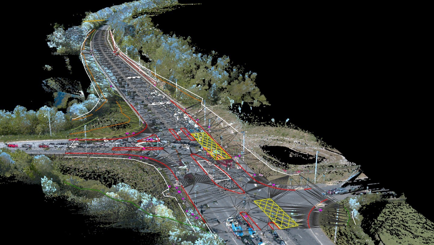
What Is A Mobile Mapping Survey And When Do You Need It?

Jul 23, 2026, 11:00:00 AM 3 min read
How Does Cross Section Surveying Support Your Infrastructure?
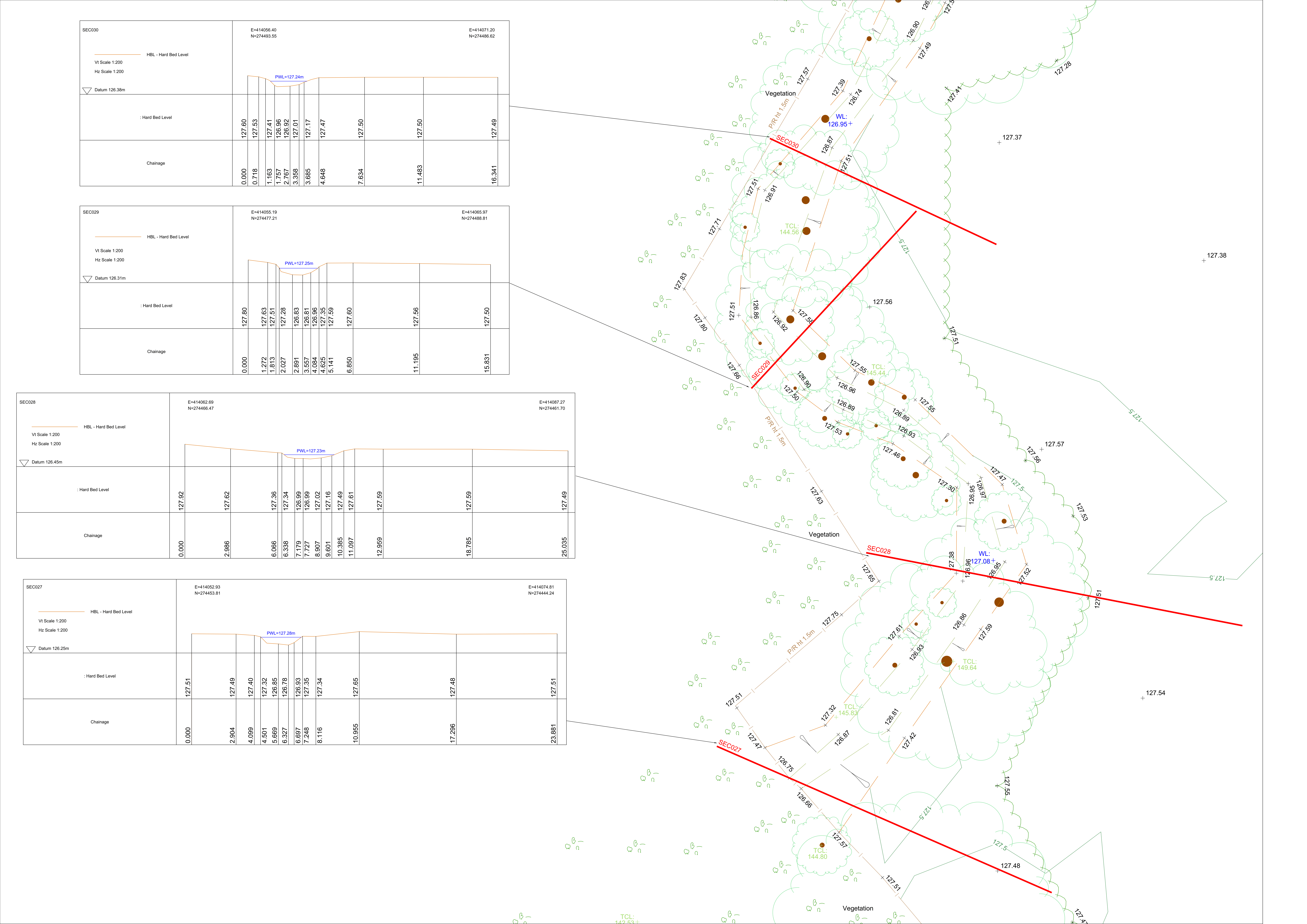
Detailed cross section surveying drawings and topographic map showing ground levels, hard bed levels, and water levels across multiple survey sections for an infrastructure.

How Does Cross Section Surveying Support Your Infrastructure?

Jul 2, 2026, 11:00:00 AM 3 min read
Advantages Of Revit 3D Building Models For Your Projects
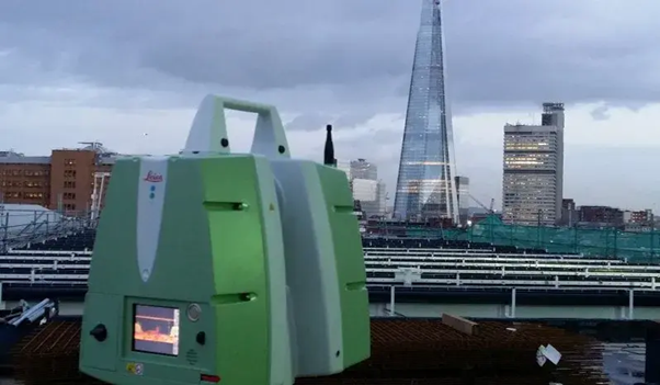
3D architectural building model displayed on a screen showing a Revit 3D Building Model used for construction design and project coordination.

Advantages Of Revit 3D Building Models For Your Projects

Jun 25, 2026, 11:00:01 AM 3 min read