Residential & Commercial Development Surveys: Enabling Confident, Risk-Free Progress

Every successful development begins with accurate, reliable survey data. Whether you're managing a new residential neighbourhood, a commercial office fit-out, or a complex mixed-use site, your ability to make timely decisions, avoid costly surprises, and maintain project momentum depends on the skill of your survey partner. Greenhatch Group brings over 35 years of specialist experience as residential surveyors and commercial surveyors, delivering national coverage and a full suite of in-house solutions for developers, architects, house builders, project managers, estate managers, and commercial landlords.

Trusted Survey Support For Every Stage

Your project faces enough risk without site data holding you back. Inaccurate or incomplete surveys can trigger design rework, planning delays, and unforeseen costs that erode budgets and trust. Greenhatch’s expertise ensures your development proceeds smoothly, with the clear, accurate information your team needs at every step:

development-survey

Topographical surveys

Detail the existing site and enable efficient planning and design.

Utilities surveys

Reduce below-ground risks, informing safe groundworks and reducing disruption.

Measured building surveys

Provide precise floorplans, elevations, and sections for refurbishment, redevelopment, or compliance checks.

Drone mapping

Capture site-wide imagery and topographic data rapidly, with minimal site disruption.

BIM and 3D modelling

Our in-house 13-person BIM/Revit modelling team delivers fully integrated digital datasets supporting your design, planning, and handover.

From feasibility and site acquisition through construction monitoring and final as-built documentation, you benefit from seamless lifecycle survey support, every stage, managed by experienced professionals who understand development.

Capacity & Confidence for Fast-Moving Projects

Scaling up or facing tight deadlines? Greenhatch’s substantial resources and highly skilled teams mean we’ll support your ambition, not slow it down:

Residential-properties-and-facilities

If a challenge arises, we always return to site to resolve issues without quibble, maximising your certainty, reducing your risk, and maintaining project harmony.

Solving The Challenges Of Modern Development

When you choose Greenhatch, you overcome many of the typical frustrations encountered with smaller or less experienced survey firms:

Our consultative approach means even non-specialist stakeholders benefit from technical clarity, all without sacrificing the detail your design or engineering team requires.

Why Choose Greenhatch For Your Development Project?

development-project
160+

Committed in-house team

Employees, full training via CICES & custom programmes.

Est 1988

Years of experience 

Pioneering surveying excellence from Derby to Newcastle, across the UK.

60,000+

Surveys conducted

Starting from topographical to BIM models, a variety of surveys are conducted till date

Request a personalised survey quote for your project

Get fast, reliable data you can build on. Our expert team of surveyors delivers accurate results, backed by technology, insurance, and personal service that keeps your project on track.

When you choose us, you're choosing a partner who understands the pressures of tight deadlines, strict compliance, and complex sites. From heritage property to large-scale infrastructure developments, we provide the accuracy and confidence you need to design and build without costly setbacks.

Why choose us?

High-level insurance cover for complete peace of mind

Results delivered within tight timeframes

One project manager overseeing your survey from start to finish

Specialists in complex and large-scale projects

Complete the form today and our team will respond quickly with a tailored quote. Giving you clear, dependable data you can trust from day one.

Our recent projects

Explore similar projects and learn how they were delivered in an timely manner. 

Why Conduct An Underground Utility Survey Before Digging?

Why Conduct An Underground Utility Survey Before Digging?

May 29, 2026 12:10:39 PM 3 min read
What Is The Step-by-Step 3D Laser Scanning Process?
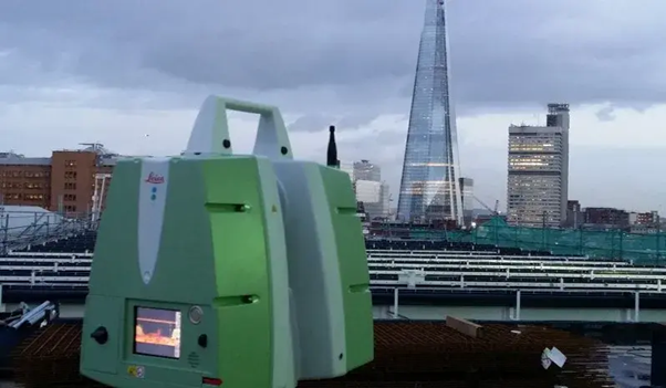
3D laser scanning equipment positioned overlooking an industrial city site during a 3D laser scanning survey for accurate site mapping.

What Is The Step-by-Step 3D Laser Scanning Process?

May 21, 2026 11:00:01 AM 3 min read
What Makes LiDAR Surveying Ideal For Large-Scale Projects?
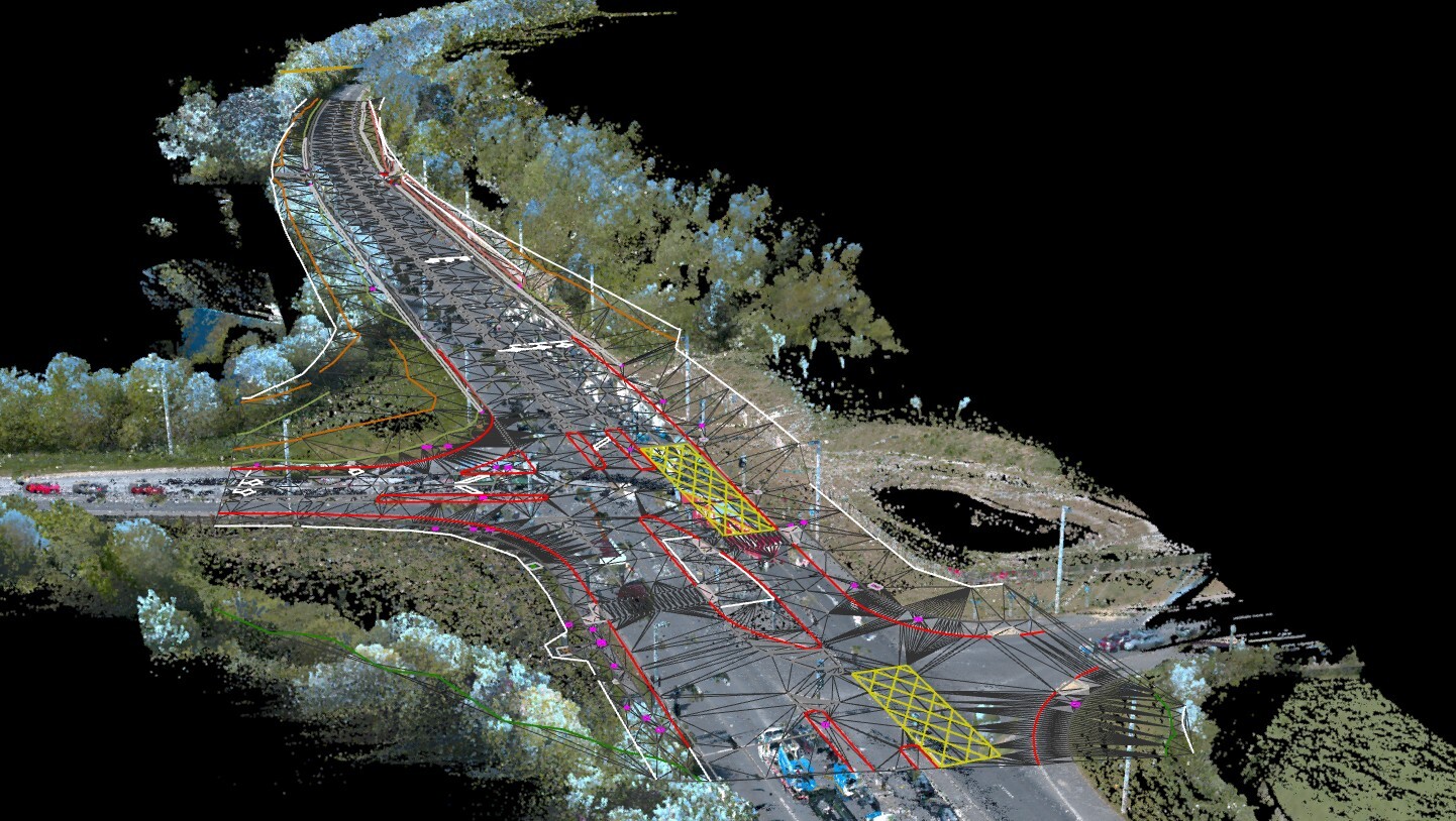
Aerial LiDAR survey map showing detailed terrain and elevation data used in a LiDAR Survey for large-scale project planning.

What Makes LiDAR Surveying Ideal For Large-Scale Projects?

Mar 5, 2026 11:00:00 AM 3 min read