.svg "Greenhatch white logo (1)")

A bathymetric survey measures the depth and shape of underwater environments, providing a clear picture of what lies beneath the surface. These surveys are used in rivers, lakes, reservoirs, canals, quarries, and coastal zones, helping project teams understand underwater conditions that cannot be assessed from the shoreline.

How Does A Bathymetric Survey Work?
Bathymetric surveys use specialist sonar technology to measure depth and determine various underwater features. The sonar equipment sends sound pulses through the water and records how long they take to return, giving accurate depth and terrain readings, using the same technology used by submarines and dolphins. When combined with GPS positioning, surveyors can produce reliable maps of even the most complex aquatic landscapes.
Some sites are surveyed from a boat, while others may use a bathymetric survey drone or remote vessel that can reach narrow or shallow areas safely. These systems allow surveyors to collect consistent data without disturbing the waterbed or causing disruption to wildlife.
What Bathymetric Surveys Measure:
A bathymetric survey can capture a wide range of underwater information, including:
- Depth variations across the waterbody
- The shape and slope of the waterbed
- Submerged obstacles or hazards
- Sediment build up and areas of erosion
- Scour around bridges, piers, or hydraulic structures
This information gives your engineers and asset managers the clarity they need to make safe, well informed decisions.
Why Do Bathymetric Surveys Matter?
Understanding underwater conditions is essential for many development projects. For example, a bathymetric survey supports planning, design, and maintenance in environments where the waterbed can change quickly due to weather, water flow, or sediment movement. These surveys help teams assess environmental risk, track change over time, and identify issues that may affect stability, safety, or future development. They also facilitate compliance with environmental and regulatory requirements for work near or around water.
Bathymetric data also plays an important role in identifying issues that could affect structural performance. For example, scour around bridge piers can threaten stability, while sediment movement can block channels or impact drainage. Having access to reliable underwater mapping allows engineers to plan interventions, and monitoring programmes with greater confidence and precision.
Applications: Where Bathymetric Surveys Are Used?
A professional bathymetric survey company, such as Greenhatch, can support a wide variety of projects, including:
- Flood protection schemes and river management
- Bridge, culvert, and embankment inspections
- Reservoir and quarry monitoring
- Dredging assessments for navigation channels
- Coastal engineering and environmental studies
- Renewable energy projects such as hydro or tidal installations
By providing accurate visibility of underwater conditions, these surveys help reduce the project risk profile and support long term asset management.
Benefits Of Using Modern Bathymetric Technology
Modern sonar systems and GPS tools allow surveyors to deliver:
- High accuracy across large or challenging waterbodies
- Consistent mapping even in low visibility or deep water
- Safer access through the use of unmanned or remote survey vessels
- Rapid data collection with minimal disruption
- Detailed digital outputs that support modelling and analysis
These benefits help project teams understand underwater environments clearly and efficiently. Bathymetric data becomes even more beneficial when it is combined with other survey datasets. Integrating underwater information with topographical, structural, or ecological surveys gives project teams a more complete understanding of how land and water environments interact. This is particularly useful for river engineering, where channel depth, bank stability, and flow conditions must be considered together to design effective interventions.
In coastal areas, meanwhile, combined datasets help assess erosion, tidal behaviour, and the impact of waves on existing assets. For reservoir and quarry sites, linking bathymetric information with previous survey records allows engineers to monitor long term changes, calculate remaining capacity, and plan maintenance programmes based on measurable evidence.
This integrated approach supports better risk assessment and ensures that any design or maintenance strategy is based on a full understanding of the site. It also improves planning accuracy by reducing unknowns, helping engineers and project managers select the most appropriate solution for long term asset performance.
Talk To Greenhatch About Your Bathymetric Survey Requirements
If you need underwater mapping or want guidance on choosing the right bathymetric survey approach, Greenhatch can help. As an experienced bathymetric survey company, we provide accurate, reliable data that supports safe engineering, effective planning, and confidence for water related projects. Get in touch to find out more.
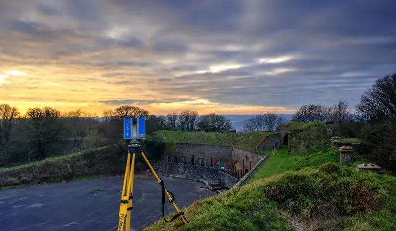
Survey framework awarded to Greenhatch Group
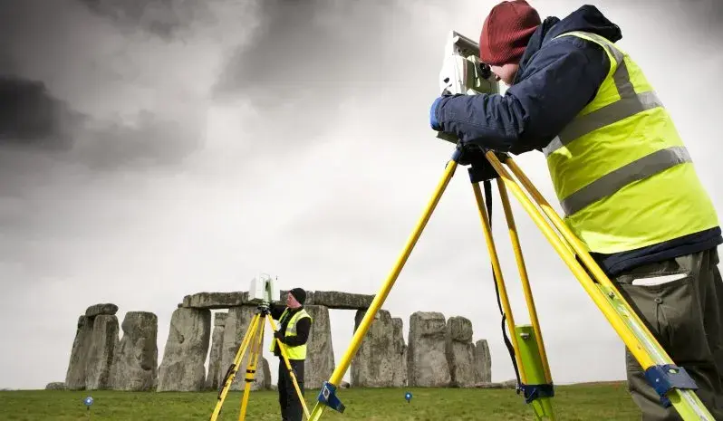
Stonehenge laser scan survey contract awarded to the greenhatch group
No Comments Yet
Let us know what you think