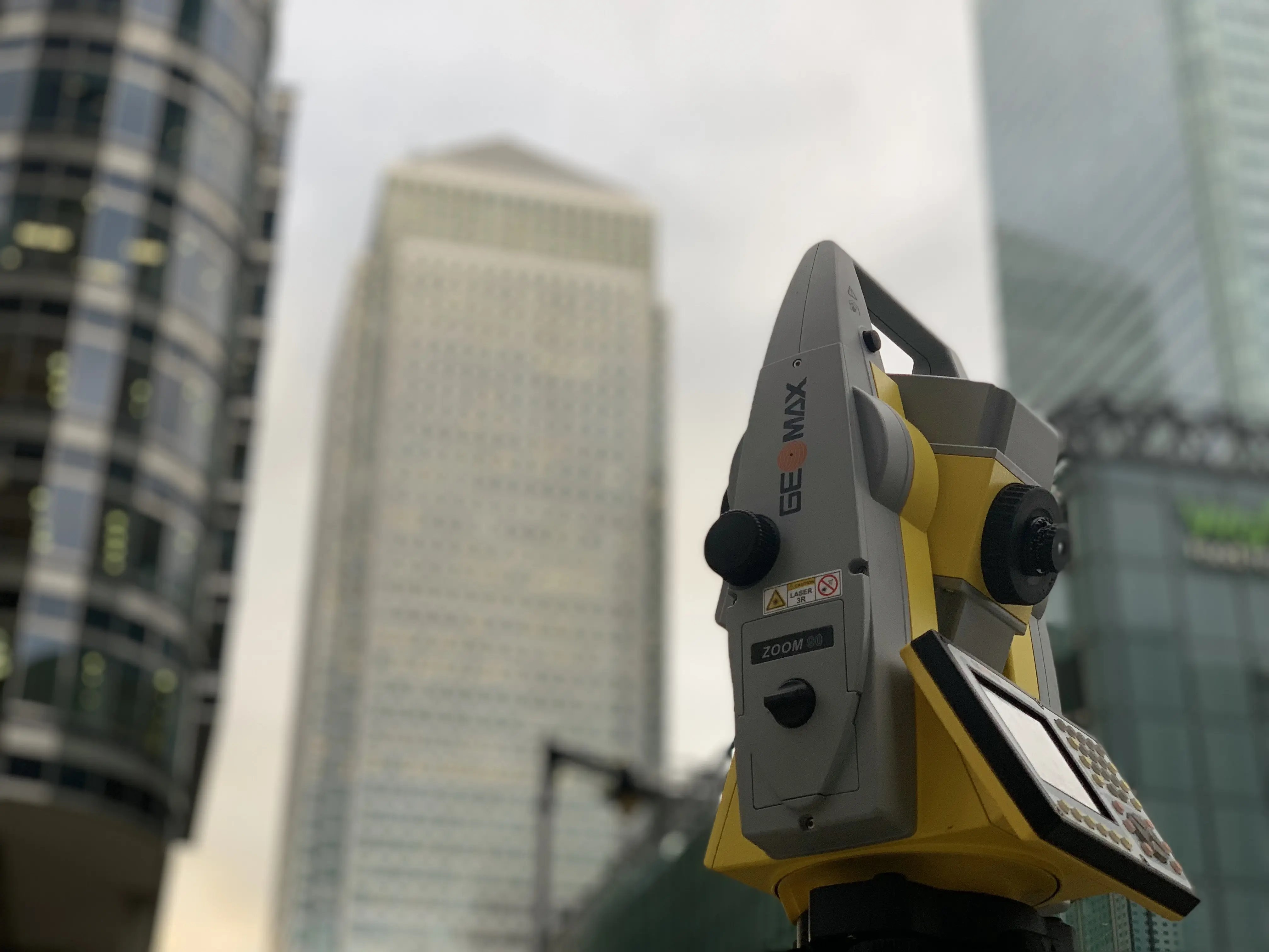
Greenhatch Group Ltd have built up a measured building survey division, with extensive experience to provide detailed survey drawing of exceptional quality and accuracy.
All measured surveys are analysed and prepared on the basis of established building lines, construction grid layouts and recognised construction details (both historic & modern) to ensure that the drawings taken on by clients can be adapted for development proposals, planning submissions etc. and more importantly in a modern digital world, full conversion into 3d systems such as Revit.
We utilise a multitude of modern data capture methods for the provision of such surveys including geo referenced terrestrial, hand held and wearable 3d laser scanning solutions.
We provide a wide service of expertise in the field of measured building surveys which includes the provision of the following related services:
Utilising the resources available within the group we have successfully provided many large portfolio surveys for such multinational firms as McDonalds, Homebase, Skoda, Dominos, Iron Mountain etc.
The provision of such large scale portfolio surveys highlights the efficiency and experienced manner in which measured building surveys are provided within the group.
Internal layout plans
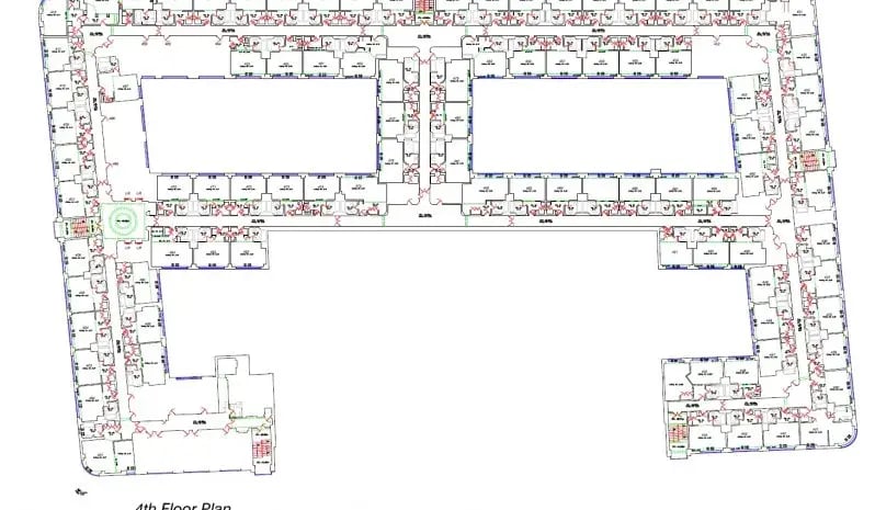
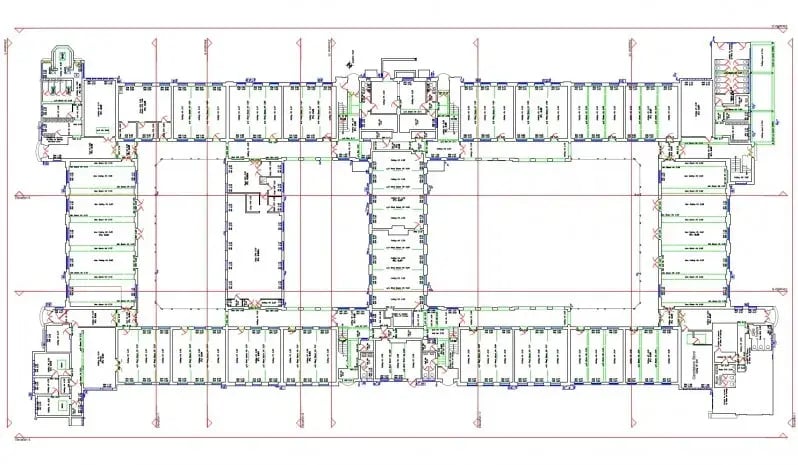
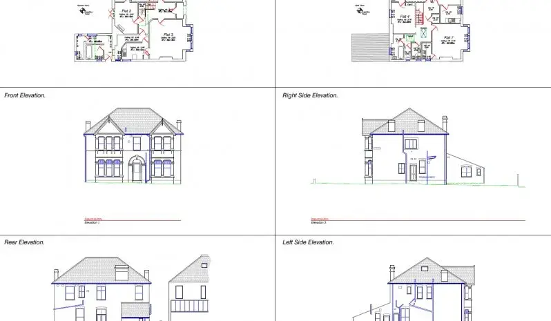
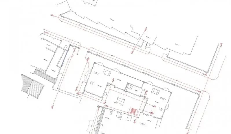
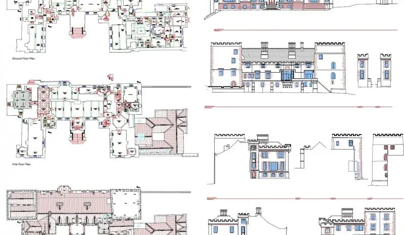
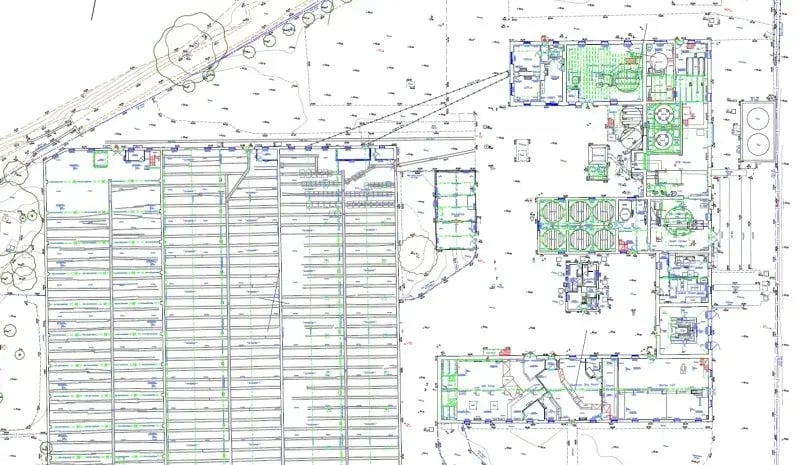
Internal Layout Plans are provided for a wide variety of structures from modular steel frame construction through to historic ruinous buildings.
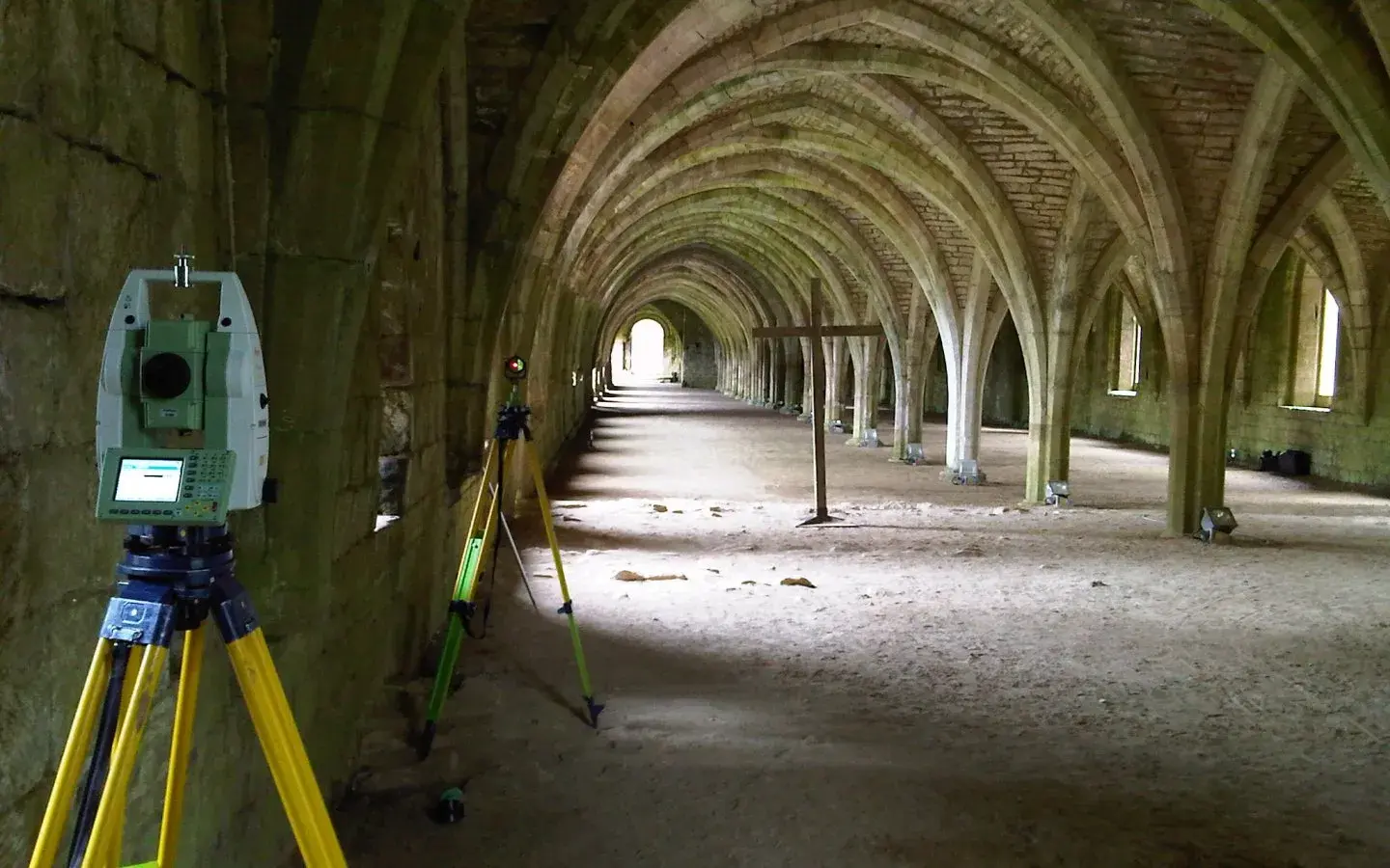
Each structure requires the same care, attention and experience to capture the correct survey data and modern laser scanning or hand mobile mapping techniques are often employed to capture a wealth of site data in unison with more traditional hand sketching and measuring techniques.
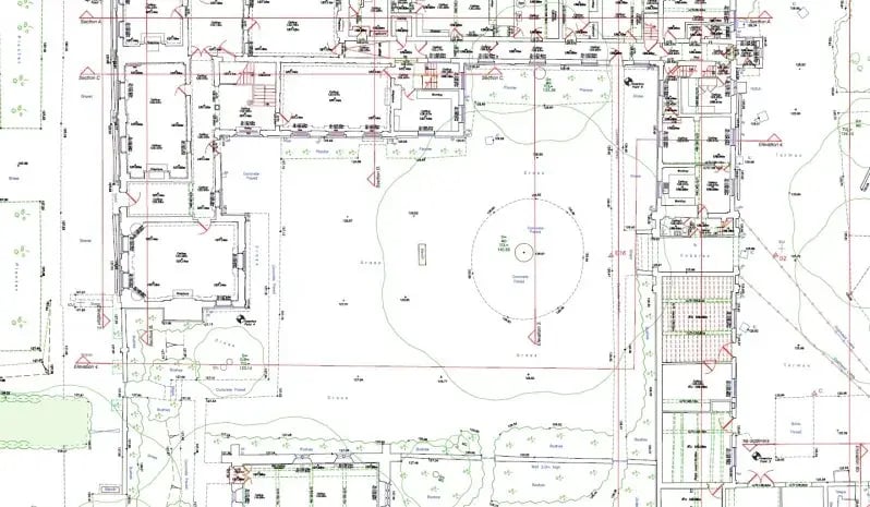
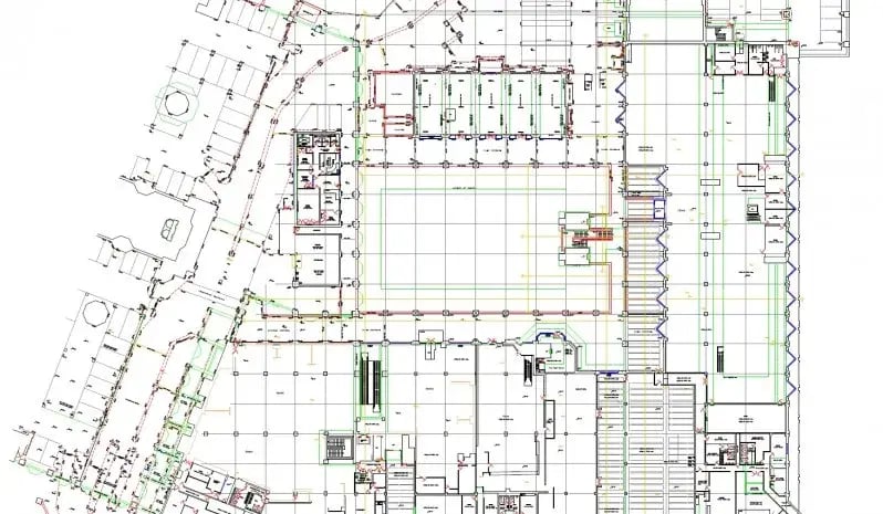
Detailed layout plans are then provided in a bespoke manner from scales of 1/200 up to an enhanced level at 1/50 as required.
Drawings are issued in a 2d AutoCAD form on separate drawing sheets per plan level together with bespoke high resolution PDF outputs.
Examples of differing detailed plan layout drawings are identified below:
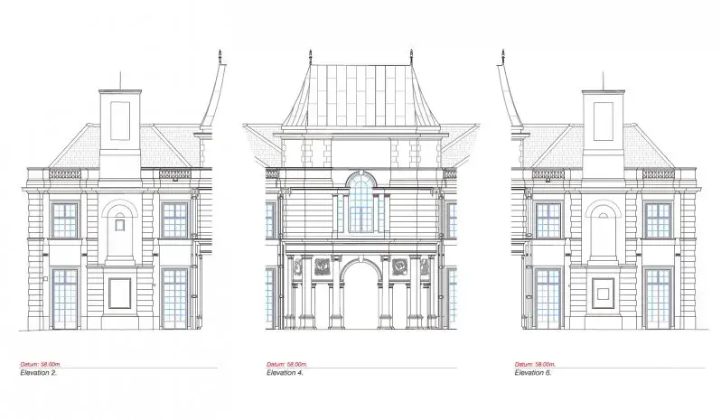
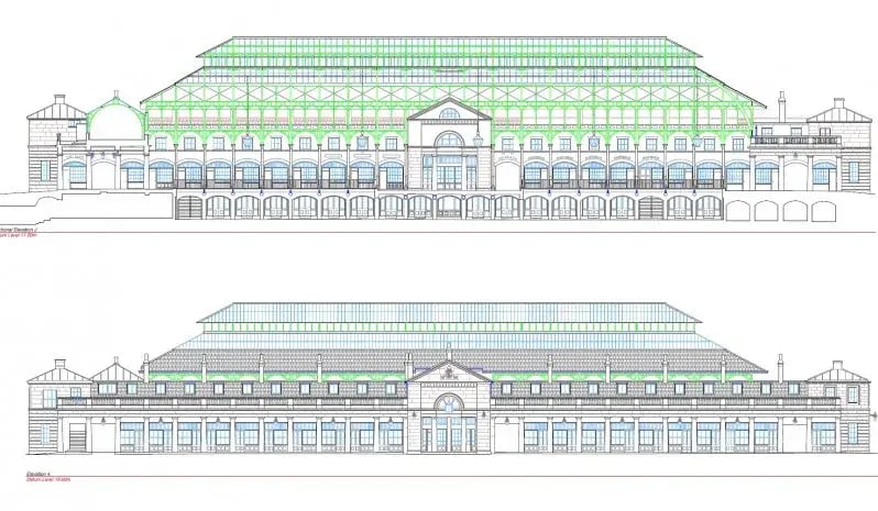
Detailed Elevations
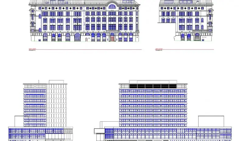
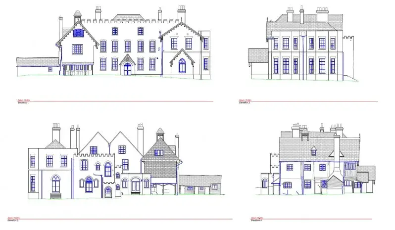
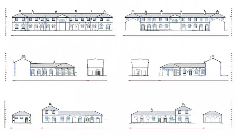
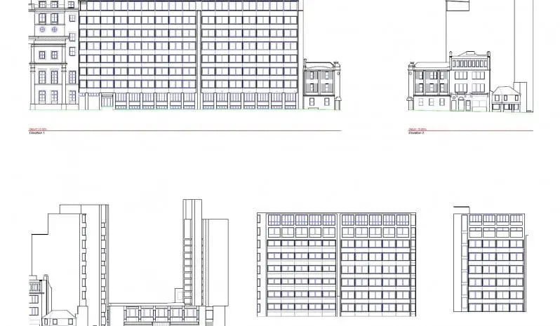
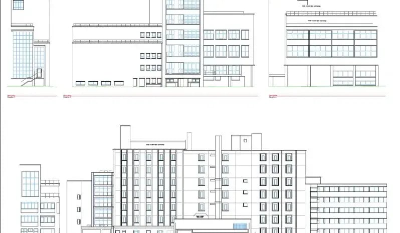
Detailed Elevation drawings are provided for all structures from simple modular buildings and steel frame retail units through to listed buildings with intricate architectural features.
All elevation drawing are provided with the same high level of technical capability using redm total station or laser scanning data capture techniques in order to enable a wealth of information to be captured per external structure envelope.
Details are drawn in 2d AutoCAD form utilising observed 3d points which are digitised in a vertical orthogonal form.
This rich point cloud data allows us to provide elevation drawings which are bespoke in detail, being relevant to the application and scale used for.
Detailed architectural and historic information can be drawn / digitised in this manner up to a resolution of 1/20 as required.
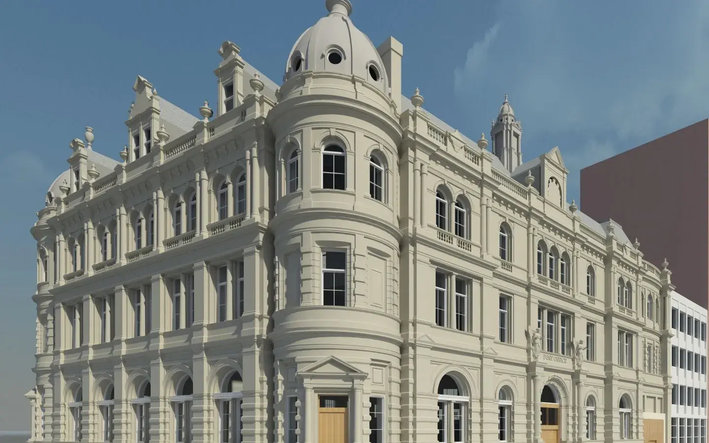
Examples of 2d drawn elevation information is identified below:
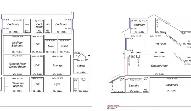
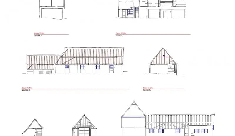
Cross sections
Cross Sections can be provided in any location through a structure utilising 3d point cloud data and also floor layout plan level / height information.
Cross Sections are provided as a structural external and internal perimeter cut line which identifies the clear floor thickness, roof configuration and window / door openings.
Such data is often used to build up eventual 3d Revit models of for further Rights of Light calculations.
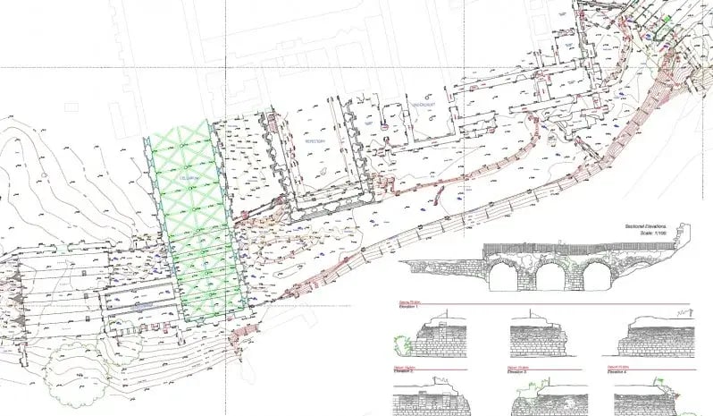
Section data can also be taken further to highlight “sectional elevation” information which is essential internal elevation drawings provided beyond the direction of each section line.
Such drawings are often provide for buildings of a historic or listed nature in order to supplement listed building consent applications.
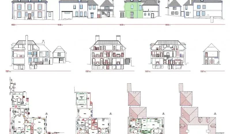
Examples of both profile sections and sectional elevations are identified below:
Rights of light
Rights of Light surveys are undertaken for use with Consultant Daylight & Sunlight Planning Reports. Drawn information is often reduced in detail to identify the general structure and fenestration extents only.
Using a combination of roof plan layout and outline elevation drawings, consultants can build daylight calculation models for rights of lights assessments.
Data is often provided in an additional 3d point cloud form for further manipulation as a more comprehensive 3d building surface and terrain model.
Example information is highlighted below:
Conservation & Historic drawings
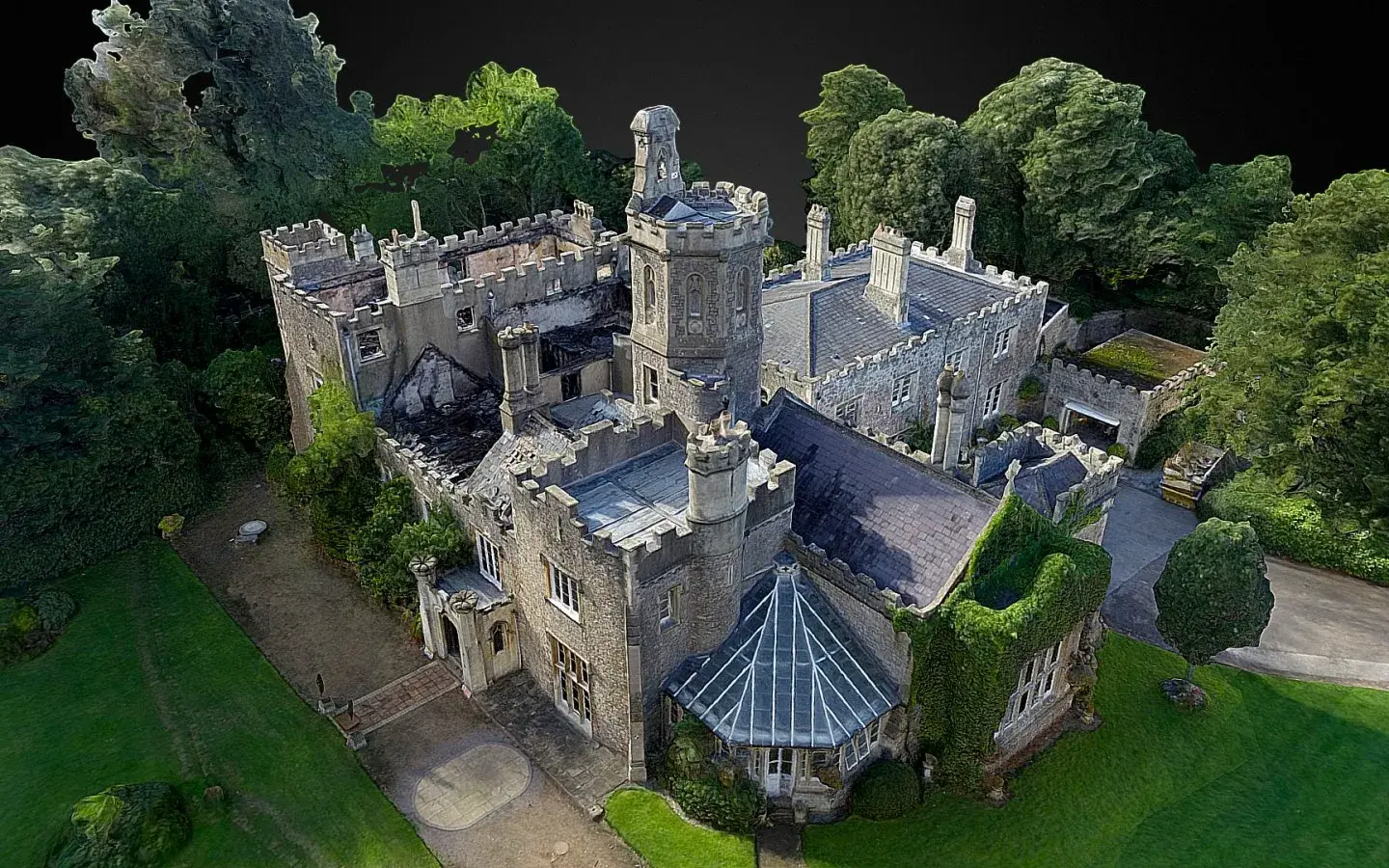
Examples of drawings provide for Historic Building Archive and Conservation Plans are identified below:
National coverage and international coverage
Committed in-house team
Employees, full training via CICES & custom programmes.
Years of experience
Pioneering surveying excellence from Derby to Newcastle, across the UK.
Surveys conducted
Starting from topographical to BIM models, a variety of surveys are conducted till date
Surveys Delivered
Request a survey quote for your project
Get accurate geospatial data from a team trusted by architects, engineers, contractors, developers and local authorities across the UK.
From topographical and measured building surveys to 3D laser scanning, utility mapping, BIM and monitoring, Greenhatch provides the reliable data you need to plan, design and build with confidence.
Why choose Greenhatch?
✓ Established from 1988 surveying experience
✓ Nationwide & International coverage
✓ In-house survey specialists
✓ Clear project management
✓ Data delivered in the format you need
Our recent projects
Explore similar projects and learn how they were delivered in an timely manner.

What Is A Mobile Mapping Survey And When Do You Need It?

How Does Cross Section Surveying Support Your Infrastructure?