Over twenty years surveying expertise

Specialised engineering techniques using state of the art equipment

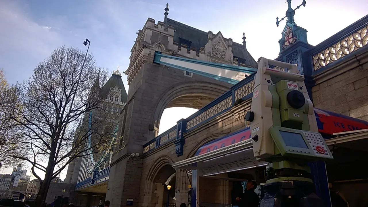
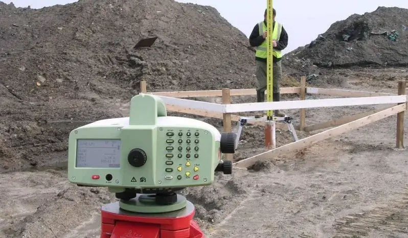
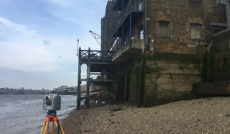
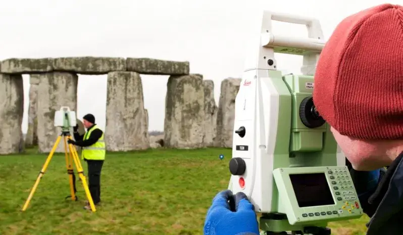
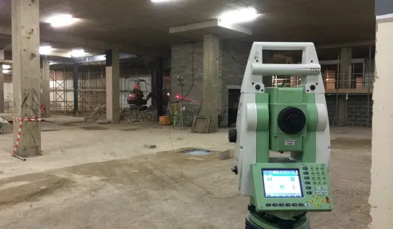
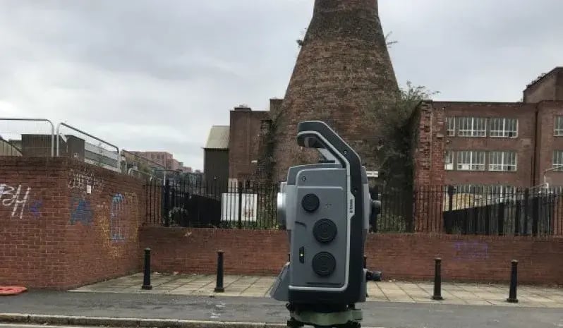
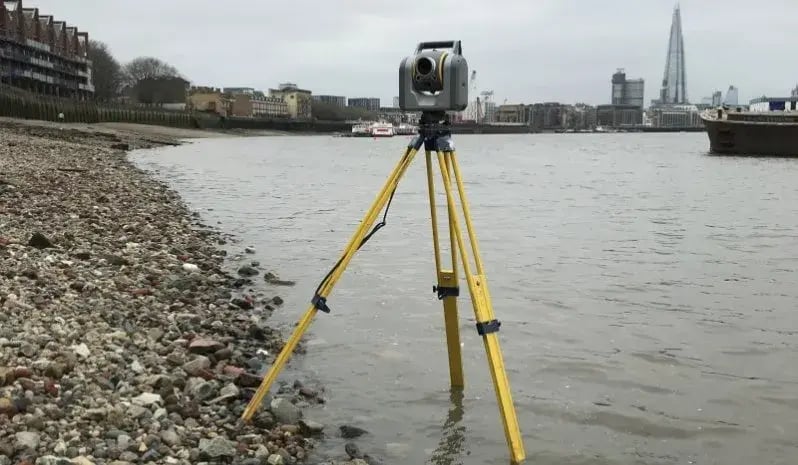
We operate with a team of 2 or 1-man robotic equivalent utilising the latest survey equipment. With a highly skilled workforce and state of art equipment we are able to provide specialised engineering techniques efficiently and accurately.

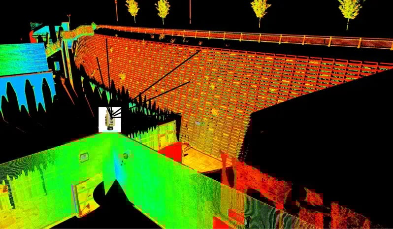
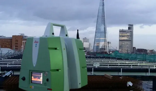
Comprehensive 3D scanning services for as – built (clash & anti-clash) to design with the provision of the BIM model. The software compares point clouds against design & fabrication models, allowing you to verify 100% of your work in the time it currently takes you to spot check 5%. The software helps you find construction mistakes before they become expensive problems. With the use of our new survey grade Trimble SX10 Laser scanner hybrid onsite works are even faster and accurate to 1mm

Fully insured work for your peace of mind.

Example_5_Engineering_Greenhatch.x1440.y900

Engineering surveys include:

OS GPS Active Network

Primary Construction Control Networks

Precise Structural Monitoring

3D Laser Scanning

Remote Vibration / Tilt Monitoring

Real-time 3D Setting Out

As-built Surveys

Precise Floor Slab Surveys

Concrete Scanning

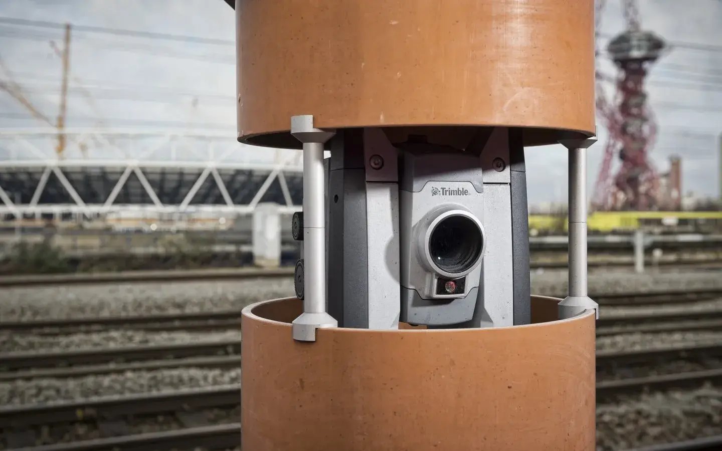
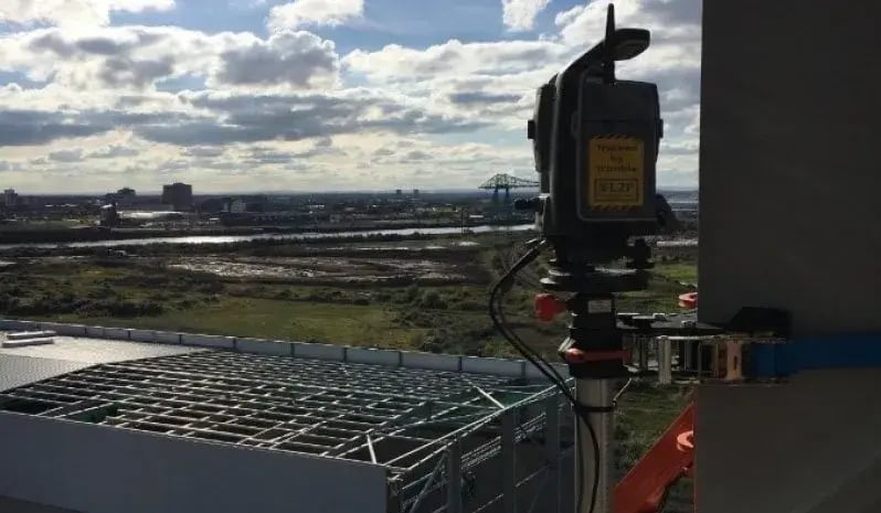
With 30 + years of experience & knowledge Greenhatch Group provide automated & manual monitoring solutions across the construction rail industrial oil historic sectors. Being a forward-thinking company, we invest in the latest most accurate technologies, which offers a reliable robust solution. We deliver expert guidance with an applied comprehensive unified solution.

DSC3553_1.x1440.y900

As part of an automated solutions we can offer environmental monitoring of noise vibration dust. As part of our manual solutions we can offer cloud-to-cloud analysis using 3D laser scanning. Assets we monitor include: 

For our automated monitoring, through the use of real time systems, email and text alerts can be automatically sent to clients through a web-based portal. Benefits of using Greenhatch structural monitoring solutions include:

160+

Committed in-house team

Employees, full training via CICES & custom programmes.

Est 1988

Years of experience 

Pioneering surveying excellence from Derby to Newcastle, across the UK.

60,000+

Surveys conducted

Starting from topographical to BIM models, a variety of surveys are conducted till date

Request a survey quote for your project

Get accurate geospatial data from a team trusted by architects, engineers, contractors, developers and local authorities across the UK.

From topographical and measured building surveys to 3D laser scanning, utility mapping, BIM and monitoring, Greenhatch provides the reliable data you need to plan, design and build with confidence.


Why choose Greenhatch?


Established from 1988 surveying experience
 Nationwide & International coverage
 In-house survey specialists
 Clear project management
 Data delivered in the format you need

Our recent projects

Explore similar projects and learn how they were delivered in an timely manner. 

What Is A Mobile Mapping Survey And When Do You Need It?
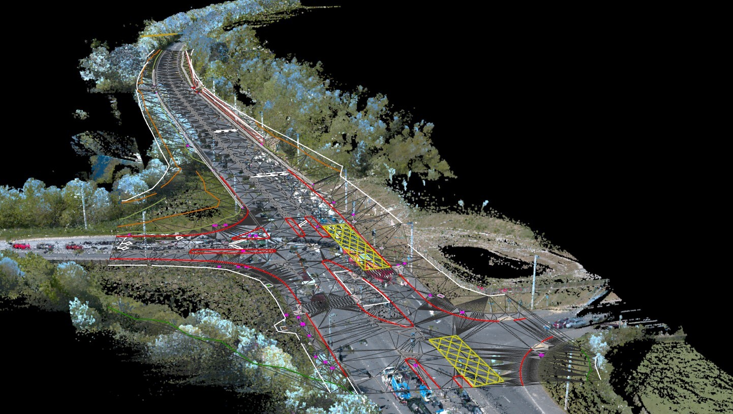
What Is A Mobile Mapping Survey And When Do You Need It?

Jul 23, 2026, 11:00:00 AM 3 min read
How Does Cross Section Surveying Support Your Infrastructure?
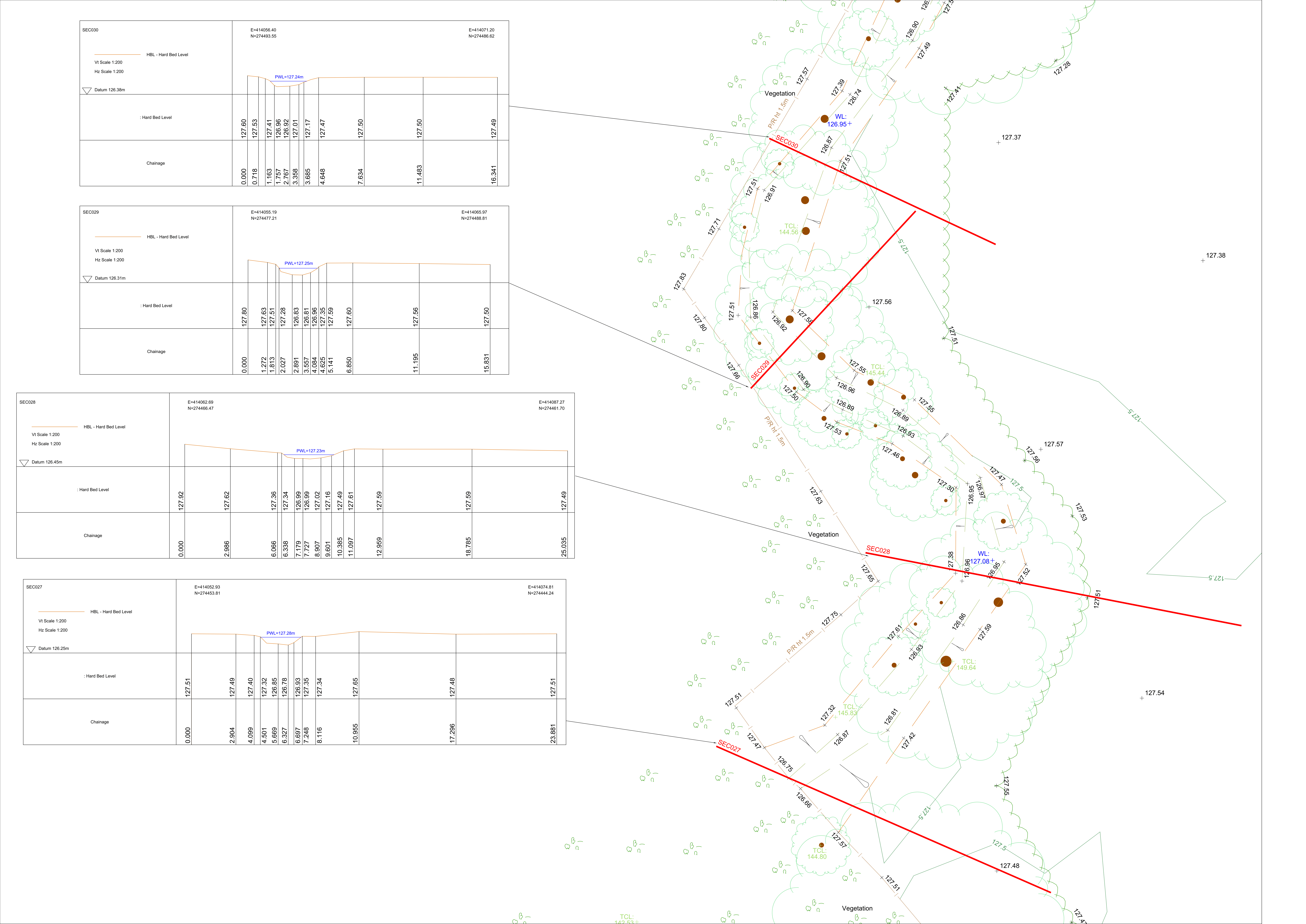
Detailed cross section surveying drawings and topographic map showing ground levels, hard bed levels, and water levels across multiple survey sections for an infrastructure.

How Does Cross Section Surveying Support Your Infrastructure?

Jul 2, 2026, 11:00:00 AM 3 min read
Advantages Of Revit 3D Building Models For Your Projects
3D architectural building model displayed on a screen showing a Revit 3D Building Model used for construction design and project coordination.

Advantages Of Revit 3D Building Models For Your Projects

Jun 25, 2026, 11:00:01 AM 3 min read