Topographical / Detail Surveys
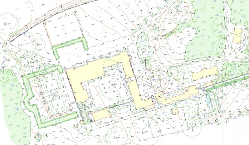
Detailed topographical surveys are captured using robotic total stations in combination with the capture of field observations by a surveyor with a detail pole and prism reflector. Data is observed in the field in point code and string-line forms which allow the direct export and manipulation of digital ground model features in bespoke survey software solutions (LSS) . Such 3d DTM data is then exported in a high quality AutoCAD 2d cartographical form for planning and interpretation use together with a 3d stringline and surface triangle mesh for use with 3d systems such as Revit.
All topographical survey data capture techniques utilise the very latest technology including Leica & Trimble GNSS receivers which are linked to the Ordnance Survey active network, terrestrial laser scanning techniques via a Trimble SX10 & Leica P40 3d data capture and also the use of SfM Aerial Photogrammetry via various UAV platforms flown by fully qualified and CCA approved pilots.
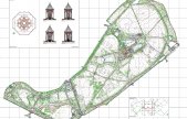
Examples of detailed topographical drawings are identified below:
Speak To Our Topographical Survey Experts, on+44 (0)1332 830044
OR EMAIL YOUR ENQUIRY
TOPOGRAPHICAL SURVEYS INCLUDE:
Large & small scale topographical surveys
Earthwork quantities & volumetrics
Photo-montage surveys
Land Registry compliant plans and area calculations
As-built plans
Provision of geospatial data and mapping
RESOURCES USED:
GEOMAX ZOOM 90 TOTAL STATIONS
GEOMAX ZENITH 15
LEICA VIVA TS15 & TS16 REDM 1" TOTAL STATIONS
LEICA GS08 & TRIMBLE R10 GNSS RECEIVERS LINKED TO OS ACTIVE NETWORK
TRIMBLE SX10 MULTI-STATION
LEICA P40 3D SCANNER
UAV's
