Landfill and Quarry / VOLUME ANALYSIS
Landfill & Quarry surveys are an important part of the Greenhatch Group history with the Company being founded upon topographical survey work with Tarmac, Steetley Quarries and Lafarge Aggregates sites established throughout the UK.
We still provide a comprehensive annual site survey update service for many sites including those which have now moved onto landfill management with firms such as Biffa Waste Services etc.
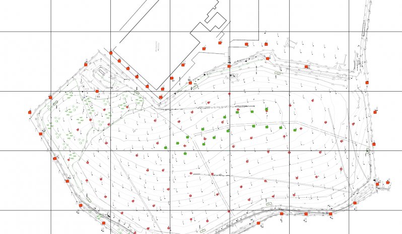
Both Quarry and Landfill topographic surveys are captured in a comprehensive 3d DTM (digital terrain model) form which allows accurate contour modelling of site features together with automatic area calculations of any specific site areas or materials.
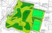
Our software also allows the interpretation of Isopachtye contours for the estimation of remaining material deposits or ultimate landscaping activities at the end of a sites life.
Examples of such activities are highlighted below:
Speak To Our Topographical Survey Experts, on+44 (0)1332 830044
OR EMAIL YOUR ENQUIRY
TOPOGRAPHICAL SURVEYS INCLUDE:
Large & small scale topographical surveys
Earthwork quantities & volumetrics
Photo-montage surveys
Land Registry compliant plans and area calculations
As-built plans
Provision of geospatial data and mapping
RESOURCES USED:
GEOMAX ZOOM 90 TOTAL STATIONS
GEOMAX ZENITH 15
LEICA VIVA TS15 & TS16 REDM 1" TOTAL STATIONS
LEICA GS08 & TRIMBLE R10 GNSS RECEIVERS LINKED TO OS ACTIVE NETWORK
TRIMBLE SX10 MULTI-STATION
LEICA P40 3D SCANNER
UAV's


