UAV & Drone Surveys
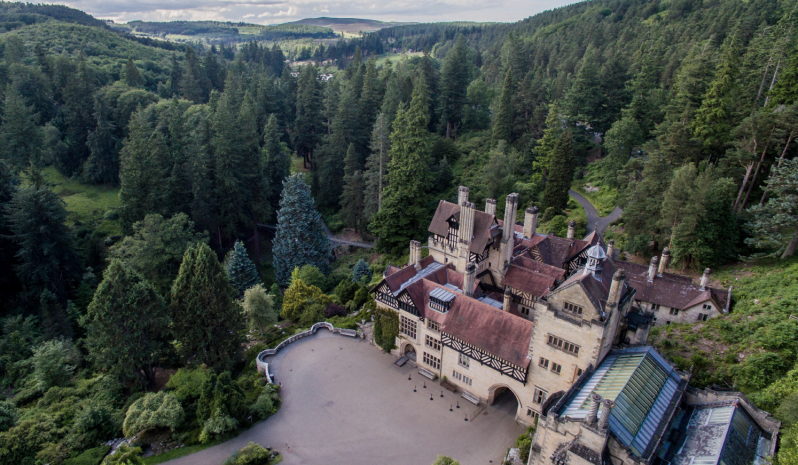
The Greenhatch Group has been undertaking UAV (Unmanned Aerial Vehicles) aerial surveys since 2016, having been granted a Permission for Aerial Work from the Civil Aviation Authority (CAA), giving us the ability to survey areas not previously possible because of hazards or access issues.
We utilise some of the latest UAV technology, with our Okto XL 6S12 featuring a number of redundant systems that help to ensure safe and reliable flight in all situations. With the ability to carry a payload of up to 3kg, we are able to fly a variety of different cameras and sensors giving us flexibility to provide the best possible product to our clients.
With the ability to cover large areas quickly, the use of a UAV can drastically reduce the time required on site and the need for expensive safety equipment for those difficult to access areas. With our survey background and expertise, we utilise the latest terrestrial survey equipment to ensure that all of our products are to a level of accuracy expected by our clients.
Survey output examples
Speak To Our UAV Survey Expert, on+44 (0)1332 830044
OR EMAIL YOUR ENQUIRY
UAV SURVEYS INCLUDE:
Aerial Images for inspection purposes
Aerial video at 4k or Full HD resolution
Large area Georeferenced Orthophotos
Photorealistic 3D Mesh Models from SfM
High detail Ortho Elevation images
RESOURCES USED:
DJI PHANTOM 4 PRO PLUS
MIKROKOPTER OKTO XL 6S12
DJI PHANTOM 3 PROFESSIONAL
LEICA VIVA TS16 REDM 1" TOTAL STATIONS
SONY A7Rii DIGITAL CAMERA
LEICA GS10 SMARTNET-ENABLED GNSS RECEIVER


