.svg "Greenhatch white logo (1)")


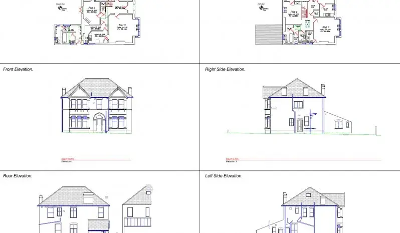
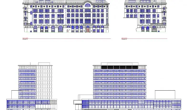
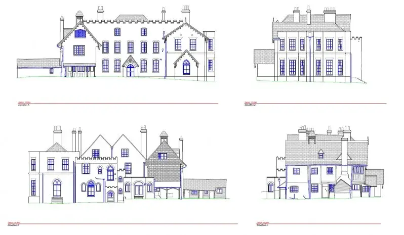
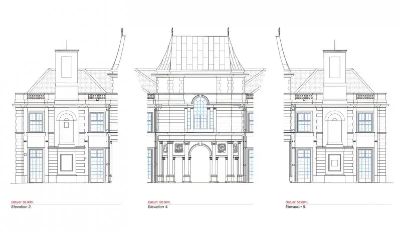


Our recent projects
Explore similar projects and learn how they were delivered in an timely manner.
What Is A Measured Building Survey?
.jpg)
What Is A Measured Building Survey?
Feb 26, 2026 10:00:01 AM
3
min read
What Are The Benefits Of Building Information Modelling?
.png)
What Are The Benefits Of Building Information Modelling?
Feb 11, 2026 10:00:02 AM
3
min read
Do I Need An Underground Utility Survey?
.webp)
Do I Need An Underground Utility Survey?
Jan 22, 2026 10:00:00 AM
2
min read
.webp?width=150&height=150&name=C.I.C.E.S%20(Chartered%20Institution%20of%20Civil%20Engineering%20Surveyors).webp)
.svg)
.webp?width=150&height=150&name=R.I.C.S%20(Royal%20Institution%20of%20Chartered%20Surveyors).webp)
.webp?width=150&height=150&name=TSA%20(The%20Survey%20Association).webp)