Overview

Greenhatch Group delivers PAS 128 underground utility surveys across the UK, providing accurate underground utility mapping and utility detection surveys to support and provide the confidence needed to design, plan and build safely. Our PAS 128 compliant utility surveys reduce risk, prevent costly delays and protect people, assets and programmes across the built environment.

Our underground utility surveys are delivered to the appropriate PAS 128 Quality Levels (QL-D, QL-C, QL-B and QL-A), combining desktop utility record searches, site reconnaissance, geophysical utility detection and intrusive verification where required.

Brief Summary of PAS:128

PAS:128 (2022) is the UK specification for the detection, verification and mapping of underground utilities. Published by the British Standards Institution (BSI), it defines a consistent, risk-based approach to locating buried services, setting out survey methods, quality levels and reporting requirements. The standard enables clients and project teams to understand the accuracy, limitations and confidence of underground utility data, helping to reduce risk, improve safety and support informed design and construction decisions.

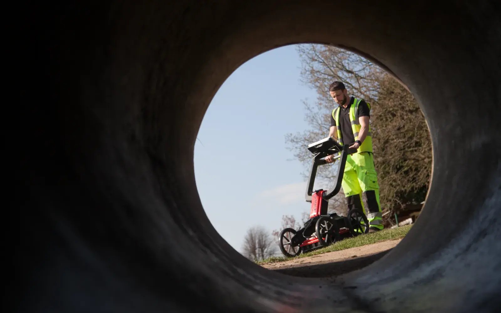
Derby_2_GPR_Surveys_Underground_Utility_Greenhatch.x1599.y999

Greenhatch Group uses industry-proven utility detection and survey technologies to deliver reliable PAS:128-compliant underground utility surveys. Our approach combines multiple complementary methods to ensure utilities are accurately identified, located and clearly reported.

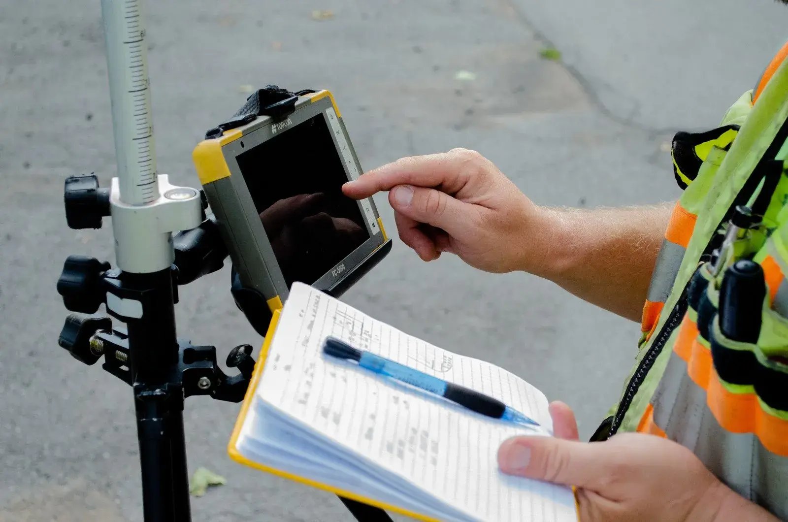
Industry-proven electromagnetic location (EML), ground penetrating radar (GPR) and survey-grade positioning technologies used to deliver accurate PAS:128-compliant utility data.

survey

Greenhatch Group delivers clear, consistent and PAS:128-compliant utility survey outputs that provide clients with confidence in what lies below ground and how the data should be used. All deliverables are tailored to the agreed PAS:128 Quality Levels (QL-D to QL-A) and aligned with project risk, scope and programme. 

Examples of deliverables supplied:

Underground Utility

PAS:128 Surveys You Can Rely On

PAS:128 underground utility surveys from Greenhatch Group provide trusted, risk-based information to support safe design, planning and construction. By applying the standard proportionately and transparently, we help clients understand what lies below ground, how confident the data is, and how it should be used.

Next Steps

Whether you are at early feasibility, detailed design or preparing for construction, our teams can advise on the appropriate PAS:128 Quality Level for your project and deliver survey outputs aligned with your programme and risk profile.

Get in touch to discuss your requirements, request a quote or understand how PAS:128 surveys can support your project.

Our Coverage

National coverage and international coverage

160+

Committed in-house team

Employees, full training via CICES & custom programmes.

Est 1988

Years of experience 

Pioneering surveying excellence from Derby to Newcastle, across the UK.

60,000+

Surveys conducted

Starting from topographical to BIM models, a variety of surveys are conducted till date

1,000s of

Surveys Delivered 


Request a survey quote for your project

Get accurate geospatial data from a team trusted by architects, engineers, contractors, developers and local authorities across the UK.

From topographical and measured building surveys to 3D laser scanning, utility mapping, BIM and monitoring, Greenhatch provides the reliable data you need to plan, design and build with confidence.


Why choose Greenhatch?


Established from 1988 surveying experience
 Nationwide & International coverage
 In-house survey specialists
 Clear project management
 Data delivered in the format you need

Our recent projects

Explore similar projects and learn how they were delivered in an timely manner. 

What Is A Mobile Mapping Survey And When Do You Need It?
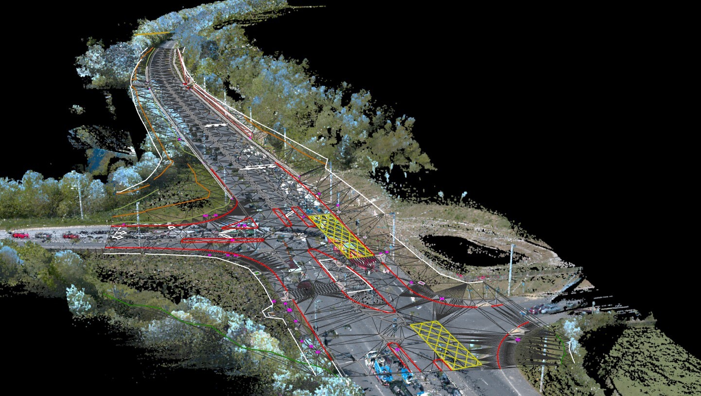
What Is A Mobile Mapping Survey And When Do You Need It?

Jul 23, 2026, 11:00:00 AM 3 min read
How Does Cross Section Surveying Support Your Infrastructure?
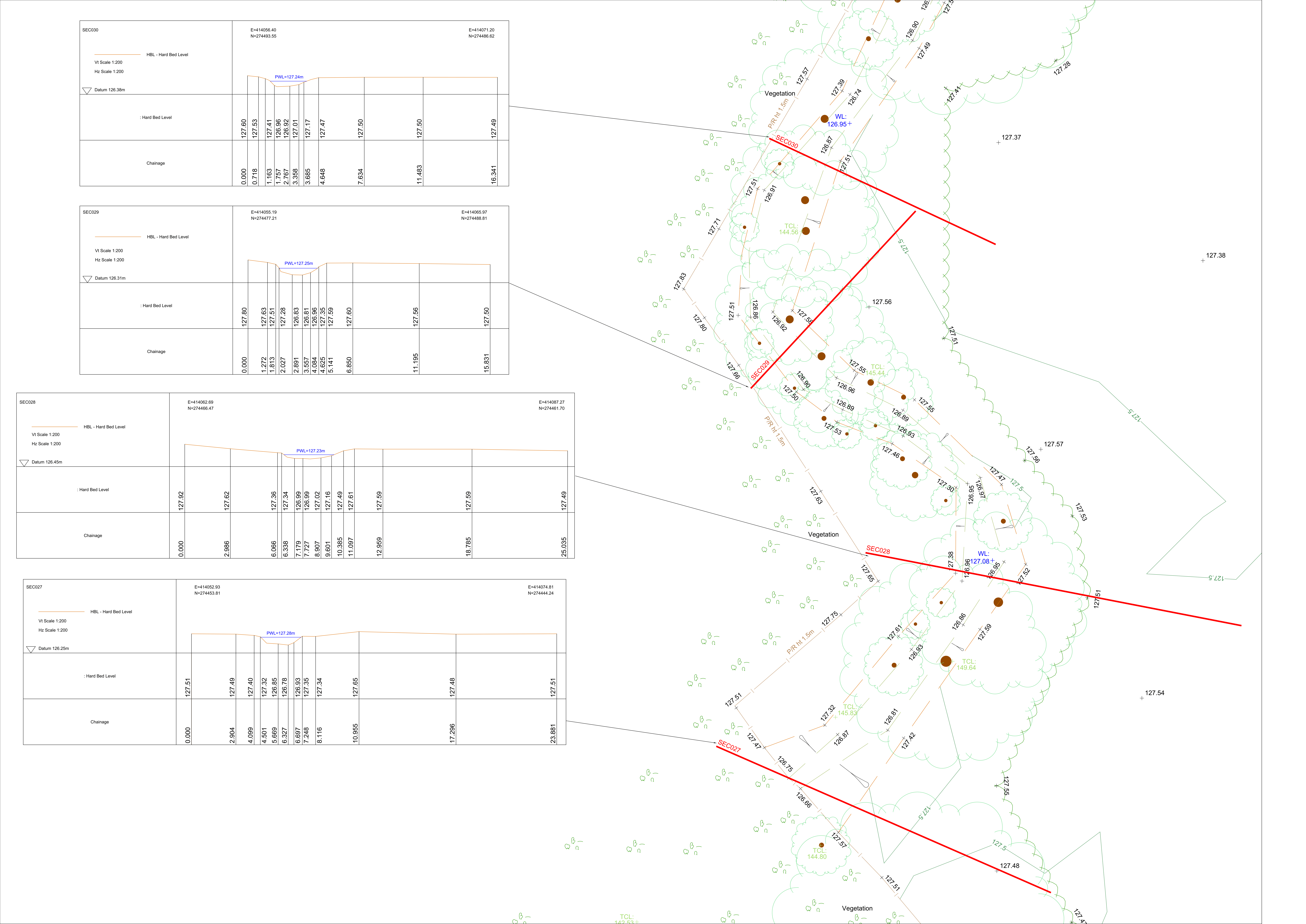
Detailed cross section surveying drawings and topographic map showing ground levels, hard bed levels, and water levels across multiple survey sections for an infrastructure.

How Does Cross Section Surveying Support Your Infrastructure?

Jul 2, 2026, 11:00:00 AM 3 min read
Advantages Of Revit 3D Building Models For Your Projects
3D architectural building model displayed on a screen showing a Revit 3D Building Model used for construction design and project coordination.

Advantages Of Revit 3D Building Models For Your Projects

Jun 25, 2026, 11:00:01 AM 3 min read