.svg "Greenhatch white logo (1)")


Our recent projects
Explore similar projects and learn how they were delivered in an timely manner.
Why Is A Topographical Survey Essential For Your Development?
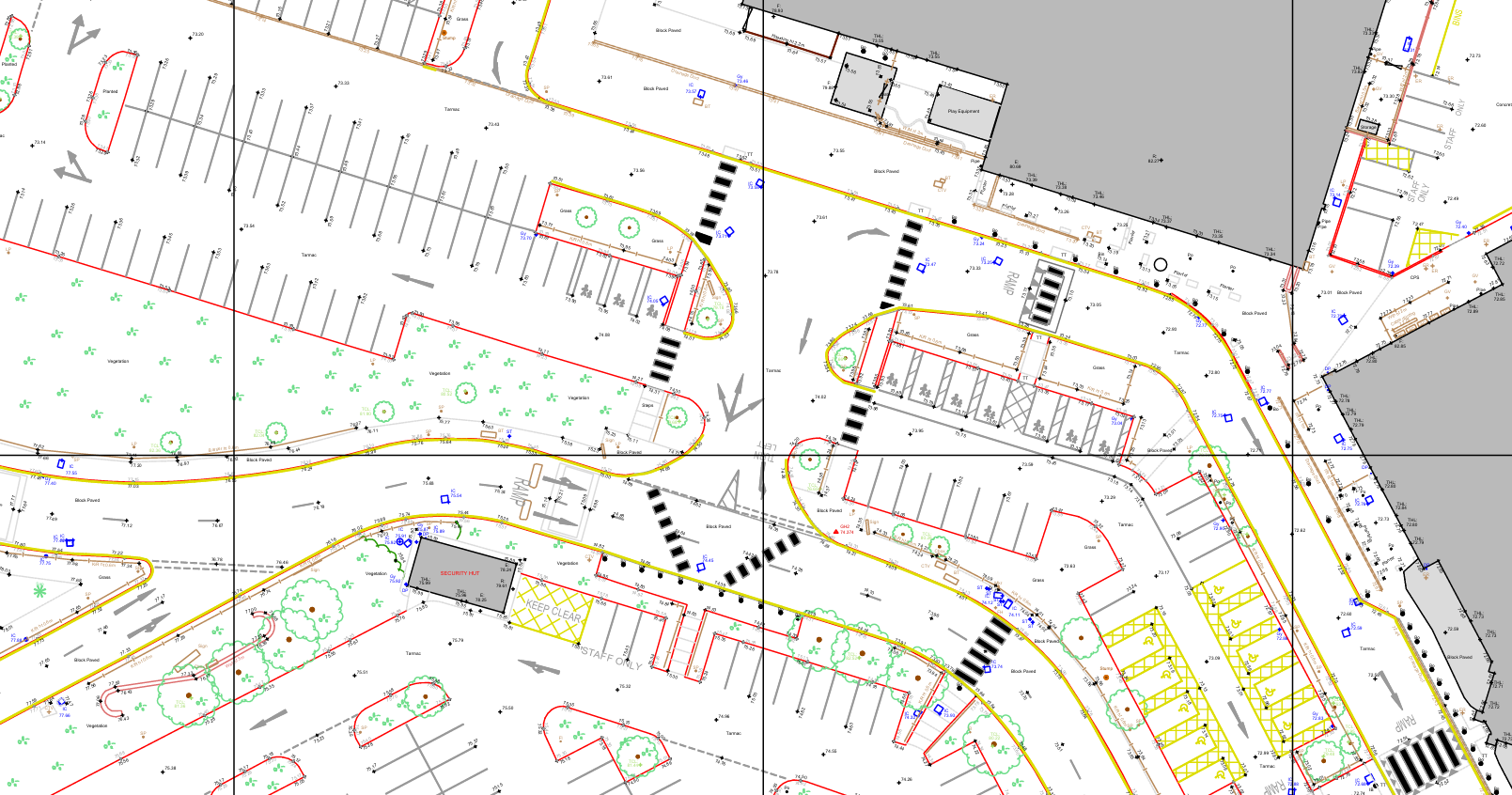
Why Is A Topographical Survey Essential For Your Development?
Jun 11, 2026 11:00:01 AM
3
min read
Why Conduct An Underground Utility Survey Before Digging?
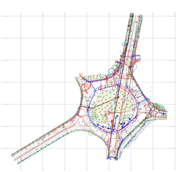
Why Conduct An Underground Utility Survey Before Digging?
May 29, 2026 12:10:39 PM
3
min read
What Is The Step-by-Step 3D Laser Scanning Process?
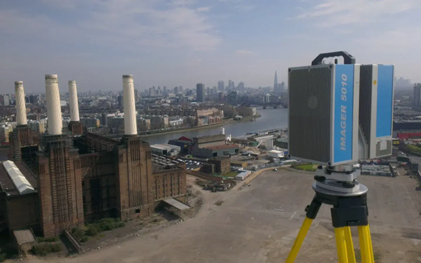
What Is The Step-by-Step 3D Laser Scanning Process?
May 21, 2026 11:00:01 AM
3
min read
.webp?width=150&height=150&name=C.I.C.E.S%20(Chartered%20Institution%20of%20Civil%20Engineering%20Surveyors).webp)
.svg)
.webp?width=150&height=150&name=R.I.C.S%20(Royal%20Institution%20of%20Chartered%20Surveyors).webp)
.webp?width=150&height=150&name=TSA%20(The%20Survey%20Association).webp)