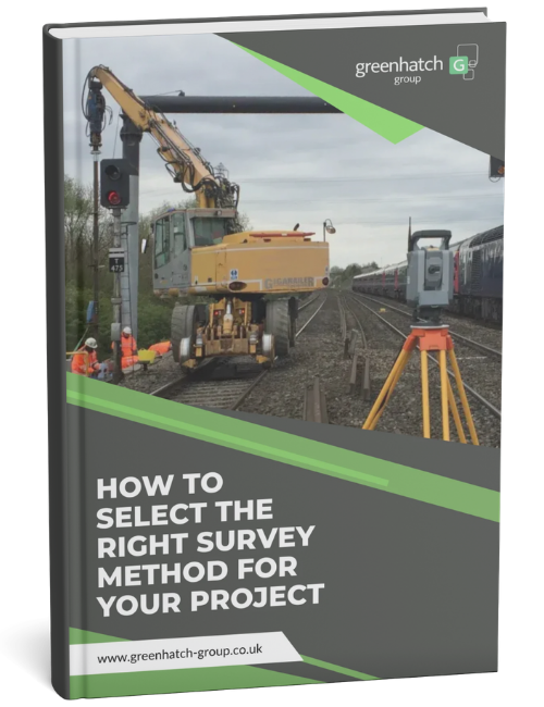
How to Select the Right Survey Method-1

When you are planning a construction, infrastructure, refurbishment or development project, knowing you need “a survey” is only the starting point.

In this guide, you’ll learn:

  • The difference between each survey type
  • When laser scanning, point clouds, BIM outputs or drone surveys may be useful
  • What outputs you can typically expect from each survey
  • Common misconceptions that can lead to the wrong survey being commissioned
  • How to brief a survey provider properly before work begins

Download this guide to get a clear, practical overview of the main survey options, so you can brief your survey provider with confidence and avoid costly assumptions.

What you’ll learn

In this guide, you’ll learn:

  • The difference between topographical surveys, measured building surveys, utility surveys, boundary surveys and engineering surveys
  • When laser scanning, point clouds, BIM outputs or drone surveys may be useful
  • What outputs you can typically expect, including CAD drawings, digital terrain models, plans, elevations, sections and 3D data
  • Common misconceptions that can lead to the wrong survey being commissioned
  • What affects survey timescales, including site access, complexity, safety requirements and output formats
  • How to brief a survey provider properly before work begins

Trusted survey support across the UK

Choosing the right survey method starts with understanding the site, the project and the information your team needs to move forward.

Greenhatch supports construction, infrastructure and property projects across the UK, helping project teams get accurate survey data from the start.

With a head office in Derby and regional offices in London, St Albans, Newcastle and Chippenham, our team can support projects of different sizes, locations and levels of complexity.