3D Laser Scanning
The Greenhatch Group has some 17 years experience in this field having undertaken terrestrial laser scanning activities since the issue of the early Cyrax 2500 System in 2001, which at the time captured a ground breaking 1,000 points per sec. We now operate a multitude of 3d scanning units which can now capture data up to 2,000,000 points per sec.
We utilise a wealth of different 3d scanning products, all having their own benefits and uses within the various Geospatial disciplines within the Group.
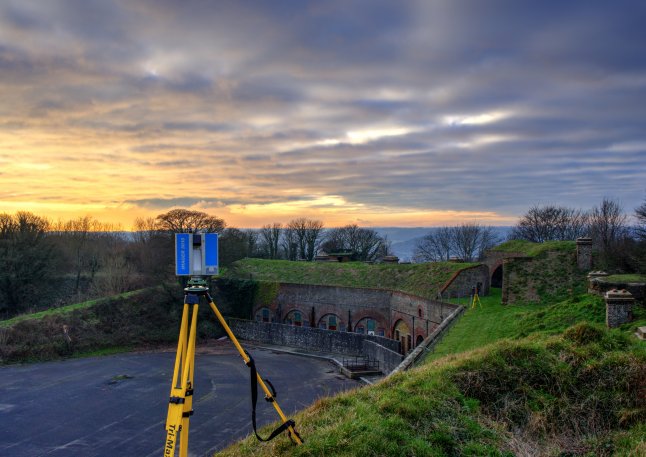
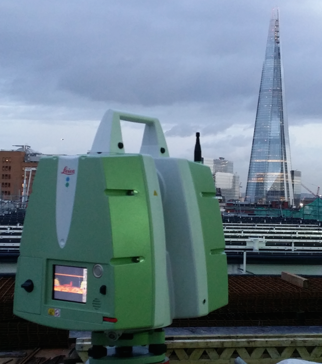
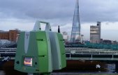
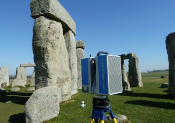
The very latest Leica P40 is utilised for high accuracy, long range data capture whereas other units such as the Z&F 5010C are utilised in heritage projects due to the wealth of HDR imagery capture.
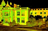
Most survey projects will utilise a 3d laser scanner during data capture in order to provide a rich 3D data sets which can be utilised for traditional 2D digitising in plan and elevation form or for manipulation and reference in the build-up of 3D Revit models.

RESOURCES USED:
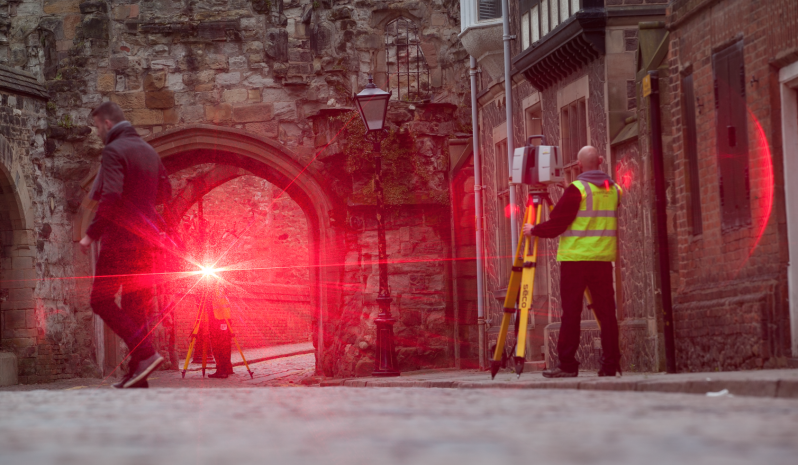
LEIVA VIVA TS16 REDM 1" TOTAL STATIONS
Z&F 5010C LASER SCANNERS
LEICA P40 LASER SCANNERS
FARO X330 LASER SCANNERS
SONY AS7Rii 42MP DIGITAL CAMERS & LENSES
LEICA GS10 SMART-NET ENABLES GNSS RECEIVER
3D LASER SCANNING SERVICES INCLUDE:
3D point cloud data sets in E57 & RCP
Mesh Modelling
Ortho photos
Speak To Our 3D Laser Scanning experts, on+44 (0)1332 830044
OR EMAIL YOUR ENQUIRY